 Loading... Please wait...
Currency Displayed in
- Home
- 1919 to 1945 - WW2
- Military Maps
- France
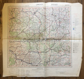
- wd275 - French Army map - BORDEAUX - France, La Rochelle, Angers, Lorient
Categories
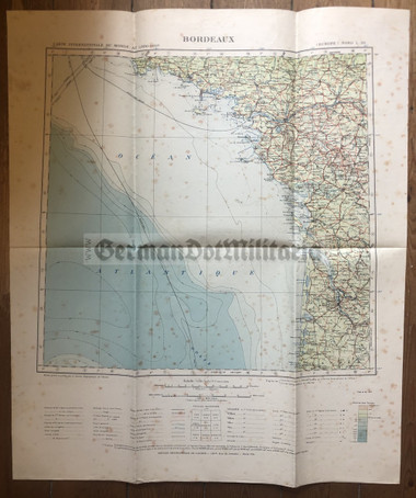
wd275 - French Army map - BORDEAUX - France, La Rochelle, Angers, Lorient
Product Description
The one you see is the one you get. This map measures 26 1/2" x 22 1/2". Published by Service Geographique de l'Armee. Some foxing. See sample pics for condition of this map. Used condition.
I do currently have a large collection of mostly German, but also French and British, army issue maps available. All of the wartime issued maps are marked Nur fuer den Dienstgebrauch or similar, meaning only for military use. Pre-war issued maps are not always marked as such, but are of the same type as many of the wartime issued maps that are. Check the sample pics in the listing to see how this map is marked. These are maps from all over Europe. The sample pics will show you any dates or other special features of the maps. Maps are always named after the largest town shown on the map, although, the map may not necessarily be centred around that town. There also some very scarce Luftwaffe Aviation maps among this collection.
Airmail Worldwide: US$8
Airmail Europe: US$6
First Class UK: £3.60


